CUGOS Fall Fling Recap
24 Oct 2013
by Jared Dominguez
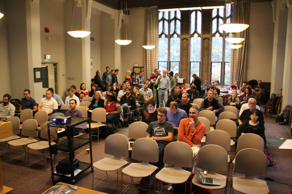
The CUGOS 2013 Fall Fling was a hit! (And I’m not just saying that because I got pizza and beer.) Thank you to everyone who presented, attended, and kept things running smoothly.
Rather than bore you with my lengthy set of notes, I compiled a partial list of the open source projects that we discussed along with some of their applications.
- Ames Stereo Pipeline. A suite of tools developed by NASA to process stereo imagery, create DEMs, and more. David Shean from the University of Washington wowed us all with his glaciological research. He uses Ames in conjunction with VisualSFM below to produce 3D images and DEMs.
- CartoCSS. A project by MapBox that brings the power of CSS to web mapping.
- Conveyor. A data processing tool developed by the Geographic Information Network of Alaska (GINA) to move data across systems. GINA’s own Will Fisher joined us from Alaska to present his work.
- D3. A JavaScript library that brings your data and maps to life with HTML, SVG, and CSS. Sam Mathews gave us a lightning tour of D3 and pointed us in the direction of some amazing examples.
- GeoExt. A JavaScript toolkit for rich web mapping applications.
- GeoServer Shell. A command line interface for GeoServer. Developed and presented by CUGOS regular, Jared Erickson.
- Leaflet. An open-source JavaScript library for creating rich, interactive web maps.
- MapBender. A framework for displaying, navigating, and querying map services implemented in PHP, JavaScript, and XML.
- Mapnik. A toolkit for creating beautiful maps.
- MapServer. A platform for publishing spatial data and interactive mapping applications to the web.
- Node.js. A platform to build scalable network applications. Although not GIS-specific, Ryan Whitley used the node.js platform in conjunction with PostGIS, nodetiles, phantasm, and other tools to perform on-the-fly analytics and display dynamic map tiles.
- Nodetiles. A JavaScript library for rendering map tiles. Also see node.js.
- OpenLayers. A powerful and well-established JavaScript library for creating web maps.
- OpenStreetMap. A crowd-sourced worldwide map. CUGOS members Clifford Snow and Chase Stephens contribute extensively to the project and continue in their unflagging efforts to improve the coverage of the Pacific Northwest.
- Paxdb. A graph data system that uses leveldb as a key-value store and is currently under development by James “keppy” Dominguez.
- Phantasm. A node.js web service that uses PhatomJS to print web pages (and maps!) Also see node.js.
- PostGIS. An extension for PostgreSQL that adds support for geographic objects and spatial queries.
- Puffin Feeder Viewer. An android viewer for the Geographic Information Network of Alaska’s extensive set of data and imagery. Also see Conveyor.
- Python GDAL API. A Python API for the ubiquitous Geospatial Data Abstraction Library (GDAL). Multiple CUGOS members collaborated to present the Python GDAL/OGR Cookbook, a set of code snippets for using the Python API.
- QGIS. A full-fledged desktop GIS program. Michael Patrick introduced the new features available in QGIS 2.0, including a snazzy user interface, advanced map styling, layer blending, additional database support, and more.
- TileMill. A design studio for creating beautiful maps with previously mentioned CartoCSS. This is another project by MapBox.
- TileStache. An approachable python-based tile server. Matthew Kenny presented his demo application for viewing animated GIF tiles rendered by TileStache and the GiphyAPI.
- VisualSFM. A GUI application for 3D reconstruction using structure from motion (SFM). Also see the Ames Stereo Pipeline.
Impressed? You should be. CUGOS is a great way to learn about the GIS world. I’ll be back next year for more open source goodness…and more treats.