Part V - Final notes
What we’ll cover:
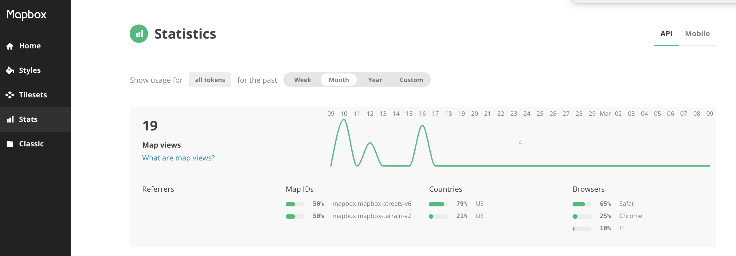
- Overview of account page
- Troubleshooting failed uploads
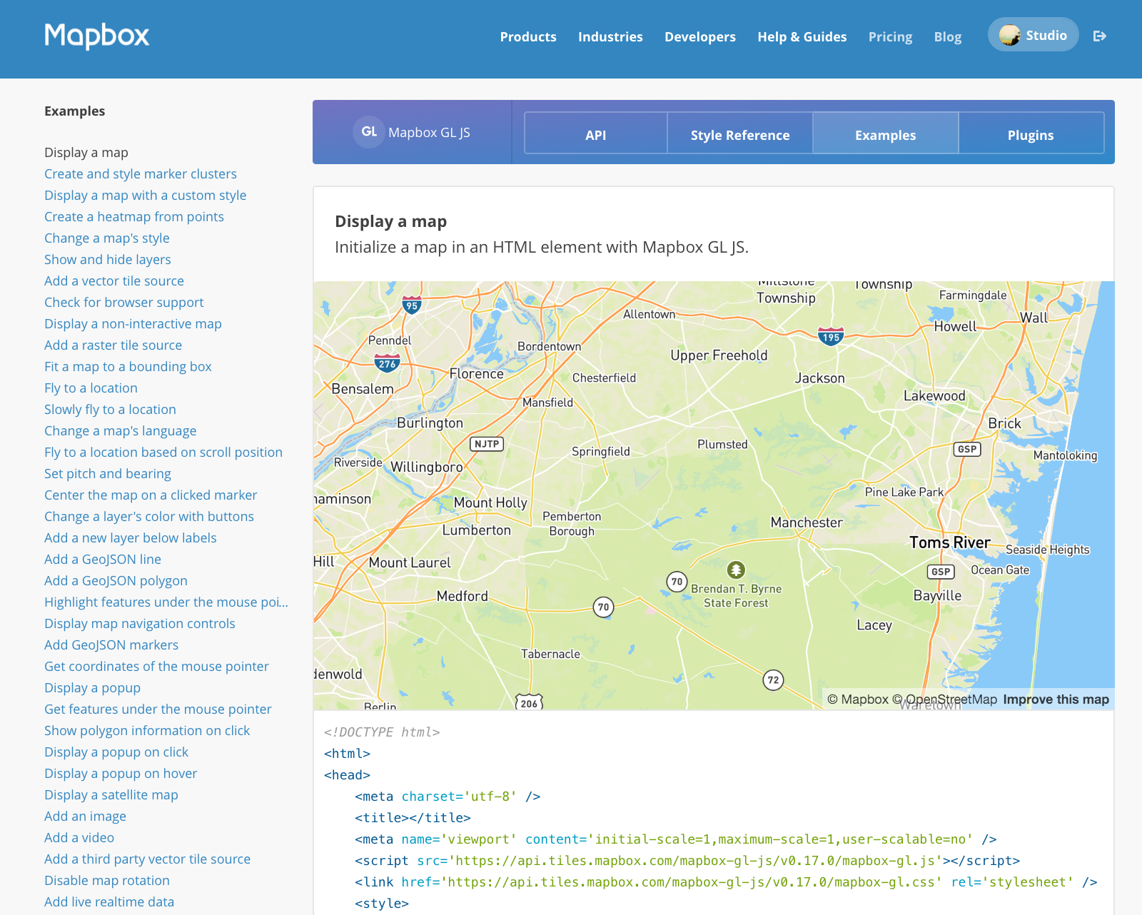
- Mapbox GL JS library
- Mobile apps
- Mapbox API
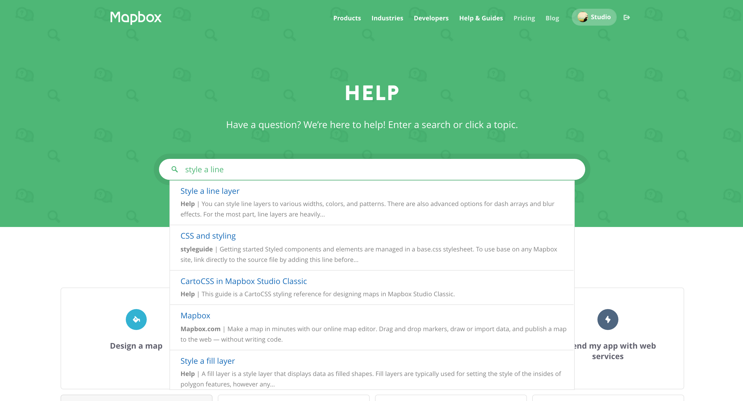
- Getting help
Overview of account page
Troubleshooting failed uploads
If you receive the error Error: Failed to find a shapefile in your zip, you may have tried to upload zipped file that did not include one of the files that make up a shapefile (.shp, .shx, .dbf, .prj).
If you receive the error Error: vector_layers must be an array of layer objects, your data source must not have any layers. Check your data source in QGIS or ogr to make sure it is correct.
If you receive the error Error: Metadata exceeds limit of 60.0k, the solution is to take extra content out of the TileJSON inside the MBTiles file.
TIFF uploads
Only 8-bit GeoTIFFs are supported. Run gdalinfo to find your GeoTIFF’s resolution. Mapbox only accepts TIFFs with georeferencing information (GeoTIFFs). Make sure your TIFF is georeferenced before trying to upload. If you are attempting to upload large TIFFs (multi GBs), here are some ways you can optimize your TIFF before uploading:
- Reproject to Web Mercator EPSG:3857
- Set blocksize to 256x256
- If compression is needed, use LZW
- Remove Alpha band, if applicable
Mapbox GL JS library
Mobile apps
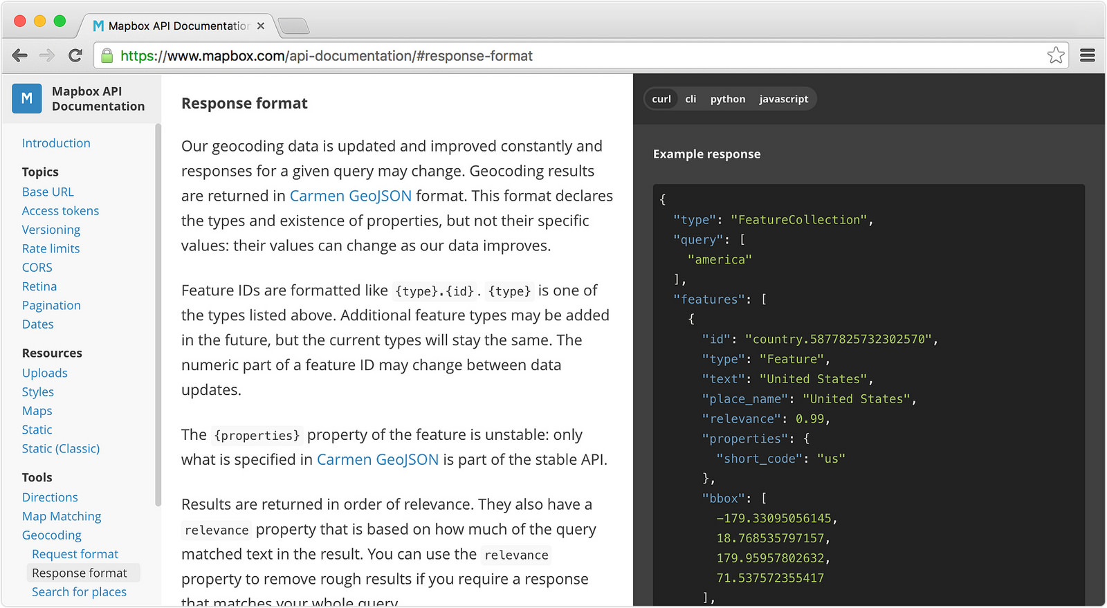
Mapbox API
Getting help