Part I - The Basics of Mapbox Studio
What we’ll cover:
- the Mapbox platform
- Mapbox data - OpenStreetMap, Terrain, Imagery
The Mapbox Platform
Mapbox is a mapping platform for developers. We are a building block company that makes it easy to integrate location into any mobile and online application.
Open source is the default and we release many of our tools through GitHub.
This demo uses
- Geocoding API to convert addresses into geographical locations.
- Turf: geospatial analysis for browsers and node
- Directions API provides instant routing from couriers to drop points.
- Basemap styled with Mapbox Studio
- Built on top of OpenStreetMaps.
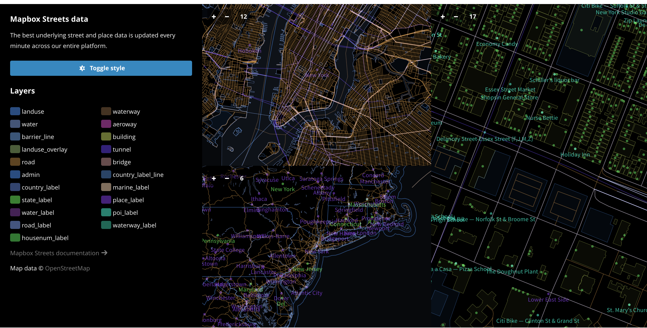
Mapbox data
Streets
Worldwide, detailed street data powered by the OpenStreetMap community’s 2 million members updating the map in real time. Each day thousands of volunteers refine the map by adding new roads, buildings, and parks — everything that matters for cities and towns across the globe.
-
25 million miles of roads
-
OpenStreetMap has one of the most complete street datasets in the world.
-
126 million building footprints
-
Building data adds context to maps and improves the quality of directions and geocoding results.
-
2,000,000 users
-
OpenStreetMap is growing at a rate of over 1,000 new mappers every day.
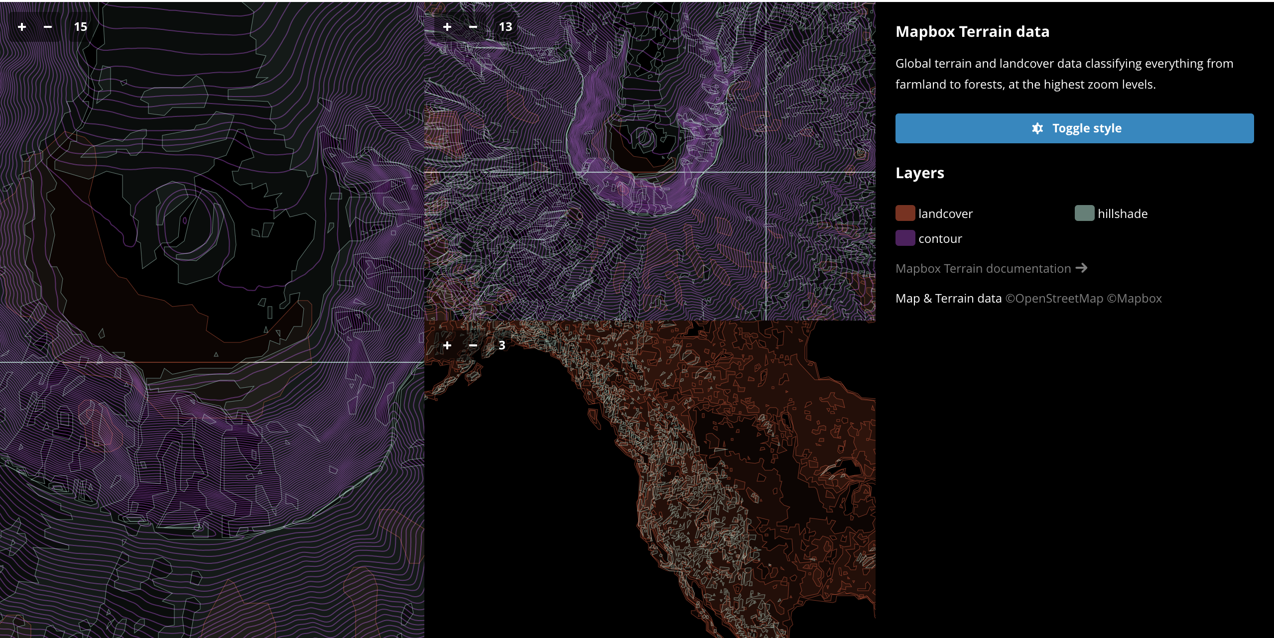
Terrain
Hillshades orient runners, topography lines let hikers judge ascents, roads are designed to overlay GPS tracks from your rides. We processed the best elevation and landcover information we could find from around the world — 24 different datasets from 13 organizations, including the US Geological Survey, the Norwegian Mapping Authority, and the Canadian GeoBase data portal.
We vectorized 56 trillion pixels of raw elevation data to create scalable hillshades and contours for the whole world.
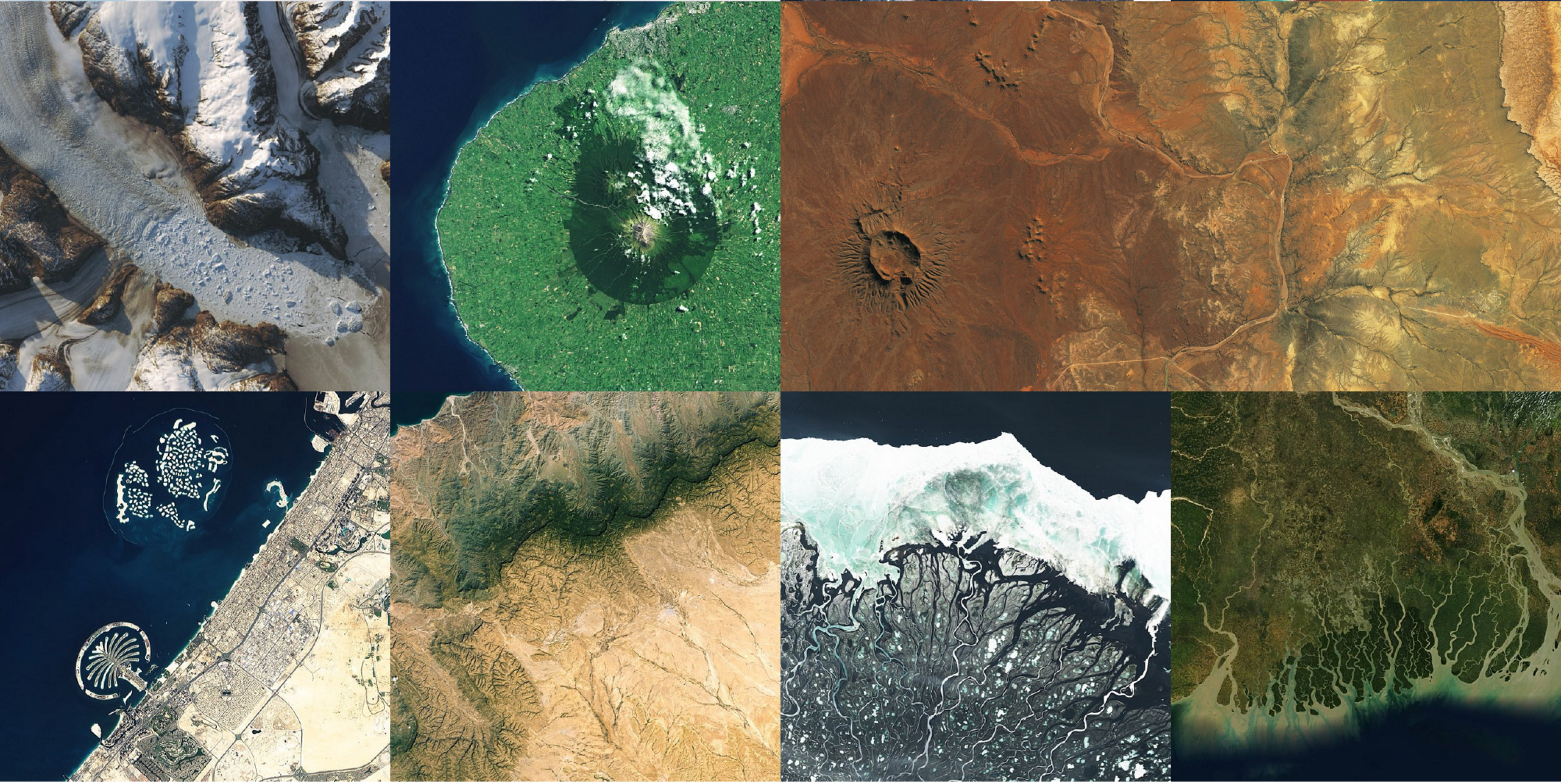
Satellite
Mapbox Satellite offers highly detailed imagery of the entire world. From tasking satellites to flying planes to controlling drones, we source, process, and color-correct millions of images. We’re creating the best-looking, most accurate, and most up-to-date satellite imagery available anywhere.
-
Cloudless Atlas
-
The perfect summer day at the highest resolution for the entire world.
-
Satellite Live
-
Processing pixel-by-pixel via our scalable cloud-based imagery pipeline.
-
NASA, DigitalGlobe, USGS
Bring your own data
You can upload the following data types to your Mapbox account:
We’ll get into how to upload your own data later on!
Mapbox Studio
Mapbox Studio is a modern design platform for managing your spatial data and creating custom map styles. Use Mapbox Studio to design a map to your exact specifications by using Mapbox-provided tilesets, uploading your own vector or raster data, adding custom fonts and images, or simply refining the built-in template map styles. With Mapbox Studio, full design control is at your fingertips.
This guide will walk you through the Mapbox Studio interface and get you acquainted with the tools for inspecting styles, uploading data, and managing your account.
